Services
-

Aerial Photography & Videography
Capture stunning aerial visuals for:
• Real estate marketing (think captivating property tours)
• Events (weddings, concerts, festivals)
• Film and television productions
• Wildlife and natural landscapes
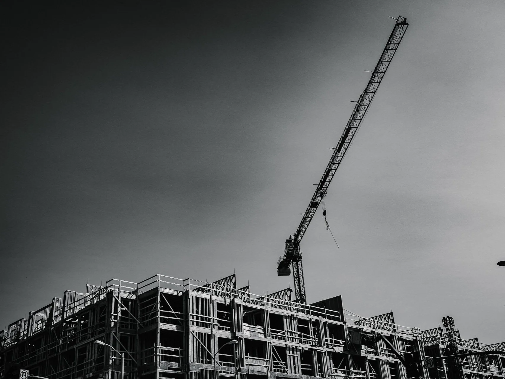
• Construction progress documentation
• Tourism and destination marketing
• Social media branding
• Infrastructure inspection -

Mapping, Surveying & LiDAR
Conduct precise and efficient surveys for:
• Land surveying and mapping
• Construction site monitoring and progress tracking
• Precision agriculture (crop health assessment, yield estimation)
• Environmental monitoring and resource management
• 3D modeling and terrain analysis
Capture high-resolution 3D data for:
• Topographic mapping and terrain analysis
• Construction site mapping and volume calculations
• Cultural heritage preservation and documentation
• Environmental monitoring and resource management -

Inspection & Maintenance
Perform safe and thorough inspections of:
• Wind turbines and solar panels
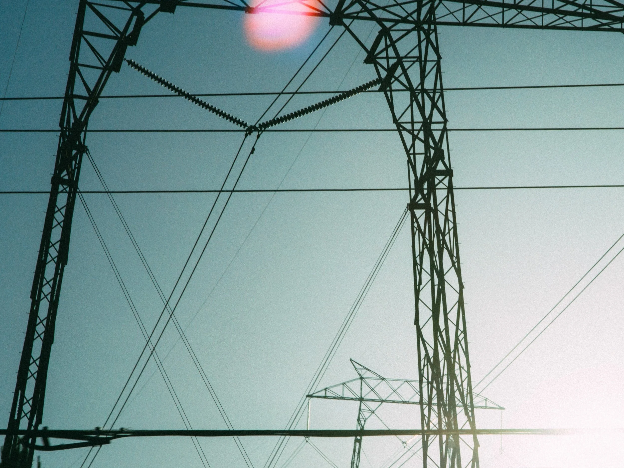
• Cell towers and power lines
• Bridges, buildings, and other infrastructure
• Roof inspections and damage assessment for homes and businesses
• Fence line and property inspections for farms and ranches
• Crop health monitoring and analysis for small-scale agriculture
• Livestock monitoring and herd management
• Chimney and gutter inspections for residential and commercial buildings
• Pool inspections and leak detection for homes and businesses
• Construction site monitoring for smaller renovation projects